I'm back from my vacation now, so blog updates will resume once again. A lot of folks picked up some much needed rainfall yesterday afternoon and evening. At the Weather Office in Burlington, KY, I officially recorded 0.43". Areas just to my NW between me and SE Indy, picked up close to 1.25"!
For today and tomorrow, a NW flow will dominate. This will provide us with much cooler temps. and lower humidity values. For today, I expect morning sunshine followed by afternoon cloud development due to the cyclonic flow around the upper level low which is centered over the Eastern Great Lakes. A slight chance of a shower or storm is possible this afternoon, but 95% of the area will remain dry. Highs today will be in the lower 70s. For Wed., I expect wall to wall sunshine! Highs will reach the lower 80s.
As we head into Thurs. though, the Ridge will rebuild once again over the Ohio Valley and SE US. We'll have a Southerly flow going once again. This will drag some hot and more humid weather into the region. We will be baking on Thurs. with highs around 90, possibly even into the lower 90s in some areas.
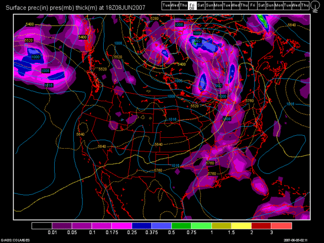
As we head into Fri. and beyond, a cold front will begin to approach the region. It will attempt to break down the Northern part of the Ridge. As it does so, a daily chance of afternoon showers and storms will be the result starting Fri. afternoon thru Mon. of our new work week. Highs on Fri. should again be in the 90s with temps. in the mid to upper 80s for the weekend. Below, here is the 0Z GFS run valid at 90 hours (Fri at 2pm):

Long Term Outlook (June 12th - 20th)
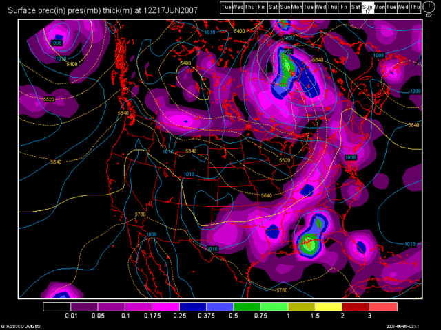
I think that our overall weather pattern will continue. The Trough will continue to plague either the Western US or the Plains States with the Ridge still dominating the Eastern US. Now there are signs that after June 16th, the Eastern US Ridge may begin to breakdown again. I'll continue to monitor that. For now, the 0Z GFS shows another decent looking front around the June 17th time frame. I know it's a long ways out, but to illustrate the above point of the Ridge breaking down, here is the model image:

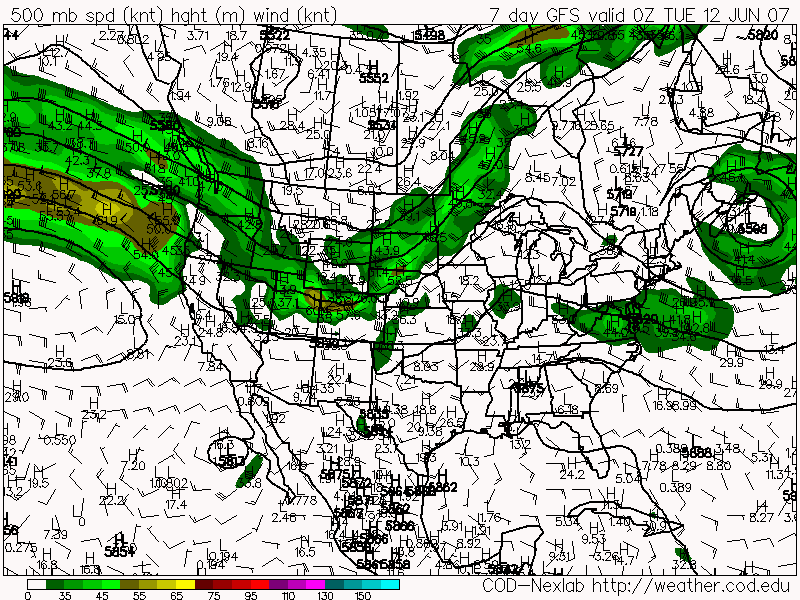
If you recall from my last blog update, where I talked about the GFS saying a trough for the 1st week of June and the Euro was saying, "No Way!" --- I have two more maps of that nature to show you. Below, you'll see both the 0Z GFS and 0Z Euro model runs. Both are valid at 168 hours (June 11th). You can clearly see that the Ridge is dominating our weather. Both models are also showing the trough staying out West. What this means for us is more of the same. Drier and warmer then average.
0Z GFS

0Z Euro


No comments:
Post a Comment