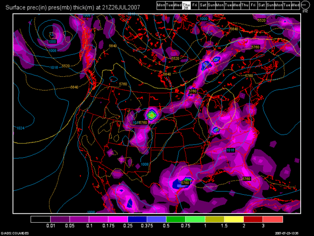
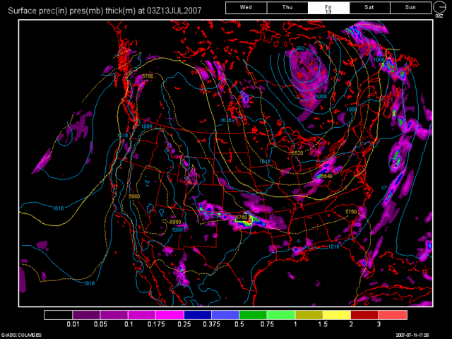
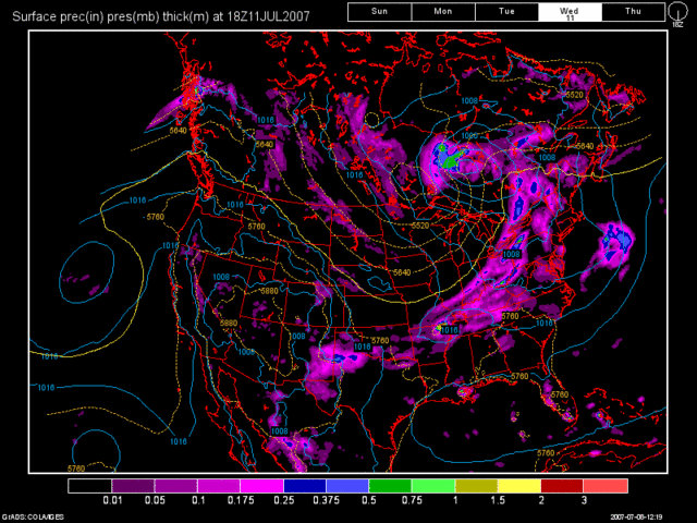
I hope everyone enjoyed Friday's rainfall, because we will not see anymore rain for quite sometime. CVG officially picked up 0.47" for the event and some portions of the Tri-State North of the River picked up over an inch to an inch and a half.
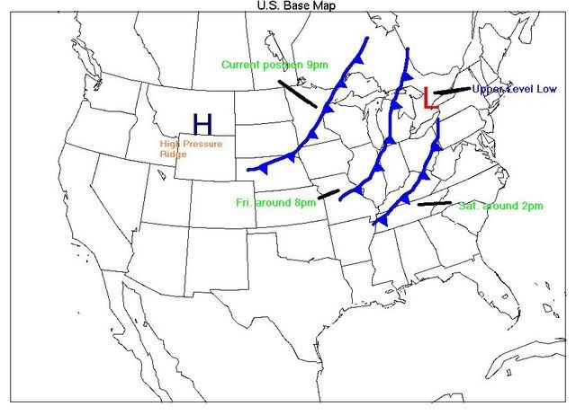
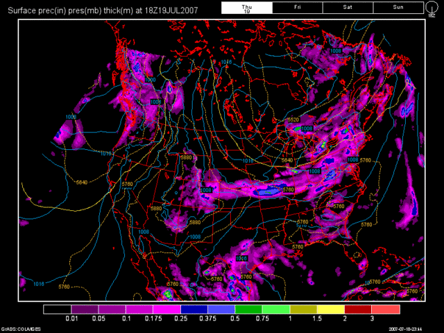
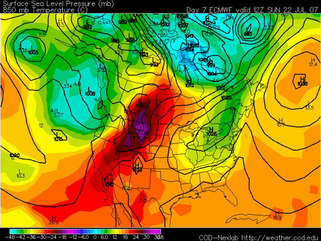
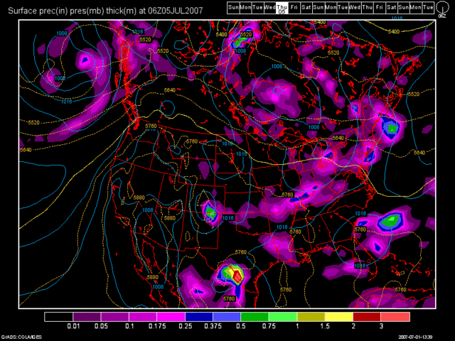
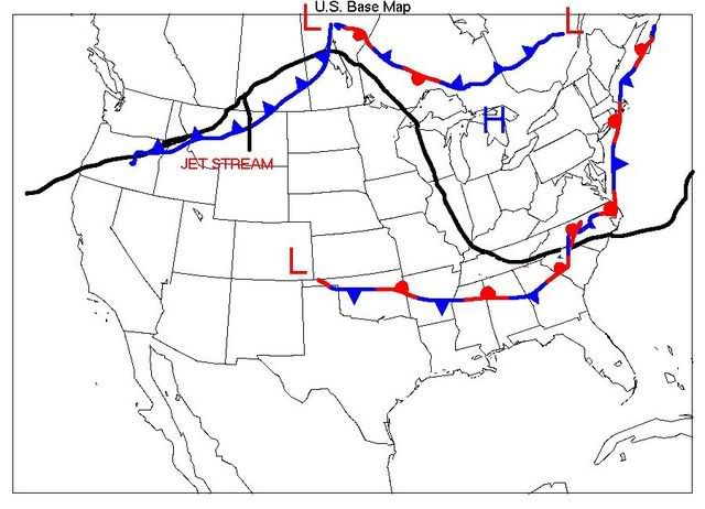
This week's set up features a big ridge of high pressure to our West over the Northern Plains, and a NW Flow set up over the Ohio Valley. A stationary front is off to our South. I have made a surface map below with the features on it that I have just discussed.
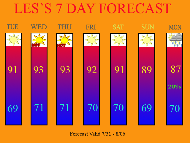
The ridge is forecast to slowly expand Eastward this week. As it does so, we'll see high humidity and temps. in the lower 90s, with perhaps the mid 90s by the end of the week. I am only going with the lower 90s as the models have run a little warmer this summer then what the actual temps. have done. The 12Z GFS MOS Guidance has even lowered the temps. a degree or two across the board for this week as compared to the last several days.
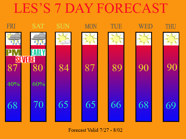
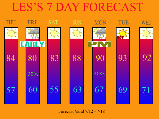
Looking at the 12Z model runs, they continue to show High Pressure dominating our weather this week, with a weak cold front affecting the region on Monday. I only have a 20% POP at the end of the 7 Day.
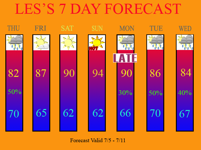
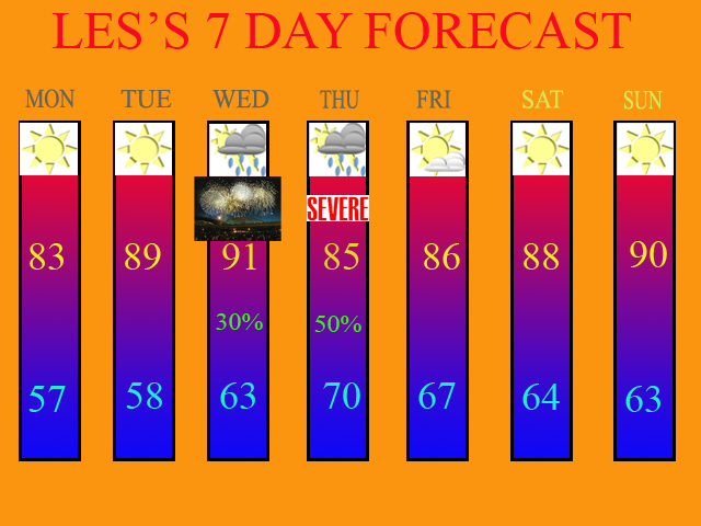
Speaking of my 7 Day, here is the updated forecast.
Long Term Outlook (Aug 7th thru 15th)
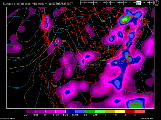
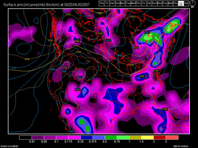
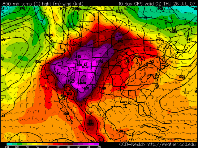
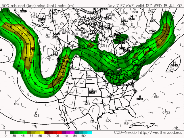
The beginning of the long term period shows yet another front, with perhaps a little more moisture to work with affecting the region. Below, you will see a 12Z GFS model image valid at 192 hours. (Tue. Aug 7th)

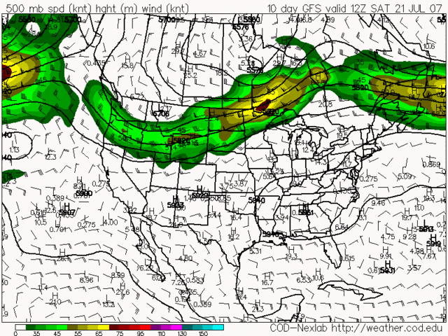
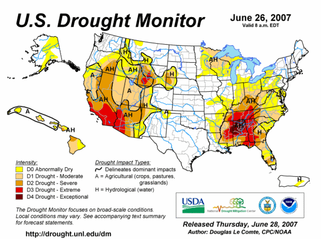
The 12Z GFS then has another dry period after Aug 8th and brings in another front towards the end of the long term period. Thus, the drought will continue to increase. On this Thursday's Drought Monitor Map, we'll likely see some improvement, due to last weeks rainfall. However, as we progress through August, that will likely not be the case, with warmer and drier weather expected.
The Tropics
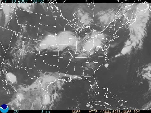
I also finally have something to talk about in the tropics! There are two areas of disturbed weather out in the Atlantic. One area is NW of Bermuda, and it is Moving NNE away from the US. I do not expect tropical development from that. The area of concern though is East of the Windward and Leeward Islands. This tropical wave shows up well on IR Satellite Imagery. Check out the image below.

As you can see, this tropical wave has a nice counter-clockwise swirl with it, so we'll have to see what happens as it continues its Westward trek. Nothing is expected to develop though for the next 48 hours. Otherwise, beyond that, it could become Chantel. I'll continue to monitor.