I'm sure everyone who reads this blog was pumped up about our severe wx chances for yesterday afternoon and evening. What went wrong? Why didn't Cincinnati get anything decent? Around lunchtime, dewpoint (DP) temps. were in the mid 50s, then an hour or two before the storms hit, the DP dropped into the upper 40s. That pretty much killed us right there. Storms off to the SW of us, robbed our atmosphere of its energy source. When the storms hit the Weather Office in Burlington, KY, I had winds of 40 mph, and some nice lightning. No hail to report. The bigger story was the drop in temps. I had a high of 83 around 4 or 5pm, and when the storms moved in, I dropped to 65.3 degrees. The temps. kept falling until even after the rain stopped, and we dropped about 35 or 40 degrees and our temps. will be stuck in the low 40s all day.
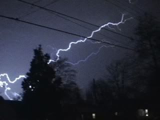
Before I continue with the weather, I would like to show you guys an awesome lightning picture. This pic was taken by a great friend of mine, Nick Nonno. It was taken near his home in Blanchester, OH.

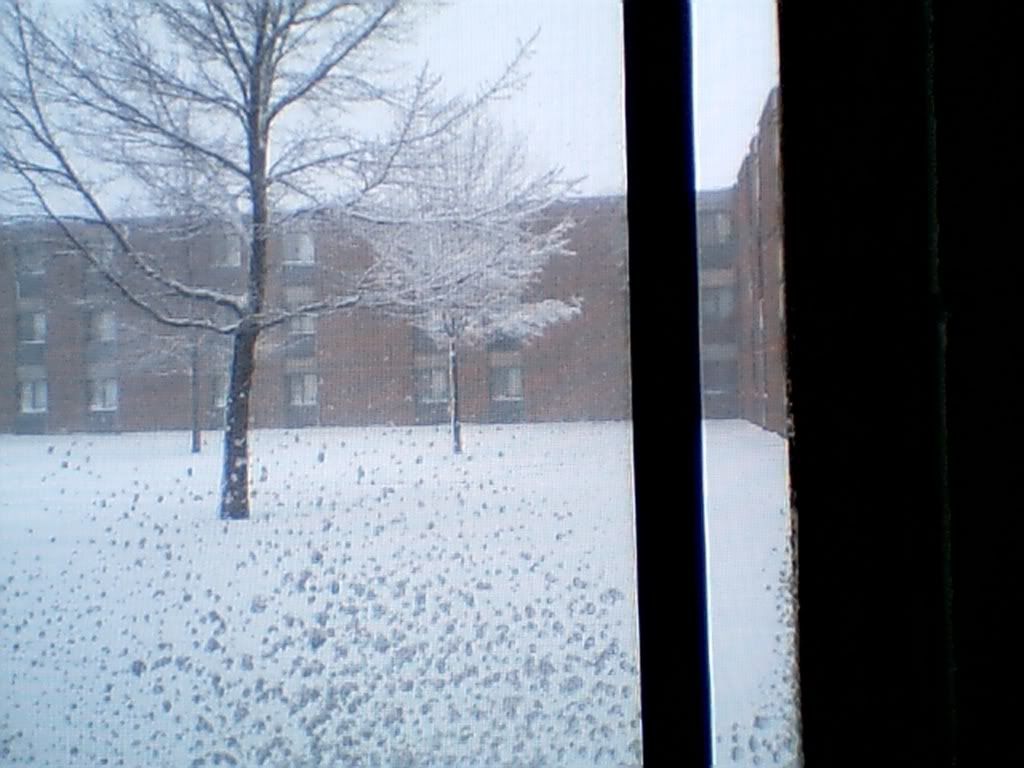
My cousin Cory Perry just sent me a pic of some snowfall that he picked up where he goes to College at in the UP of Michigan! Cory reported 70 degrees before the storm hit his area!

If anyone else would like to see some pics posted in the blog, email them to me at walleyefisherman777@yahoo.com
Alrighty, on to the weather. Our big weather story for the next 5-7 days is going to be the cold air! We will be experiencing 5 or 6 mornings in a row with sub-freezing temps! This weekend, we could even be talking about record breaking cold, as the temps. both mornings fall to near 20 degrees. Record lows are at 19 for both Sat. and Sun. mornings. We will certainly be close to that. I don't see too much precip. during this time period as I stated in my last blog entry. We could see a few showers and flurries this afternoon, and again Fri. afternoon. Otherwise highs will range from 40 to 45 through Sun. and lows generally in the 20s through the period, minus this weekend when lows could drop into the upper teens. Highs temps. should be back into the 50s by Mon. and Tues. of next week.
Long Term Outlook: (April 11th - 20th)
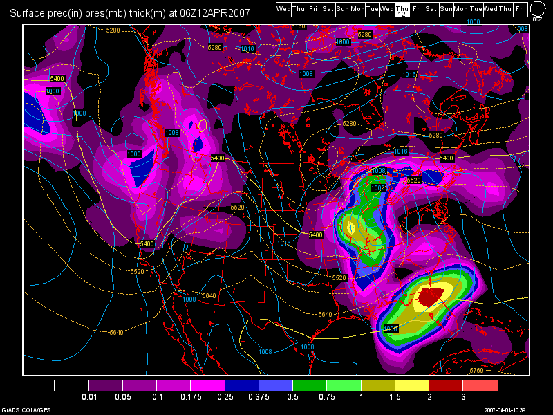
Our next decent looking storm system, should occur around the 12-13th according to the 6Z GFS Model run from today. Then, another system again around the 15th-16th. Behind that system, another chilly shot of air appears to be possible lasting through Apr. 20th. So, those lovely 80 degree temps. we have been experiencing, it looks doubtful that we'll be seeing those again anytime soon. Perhaps, not until May... we shall see!
Here is an image of the 6Z GFS Run valid at 192 hours for Thurs. Apr. 12th.


2 comments:
Wow, the snow is awesome! I wish that were here. I was disapointed when the storms to our SW sucked up our moisture. Oh well, plenty of spring left.. The GFS, even though it's my love, seems to be overshooting it. But if not we can certainly expect some severe weather in the 'nati! But, as you said, it's probably getting convective feedback! Thanks for putting up my lightning picture, we did have some ok lightning with some nice downdrafts and for the sake of the term, mini-rotation in the clouds. Looking forward to your next post!
Thank you so much Nick for those kind words!!! That really means a lot to me! You've been a big supporter of me for a while now! I appreciate it, and I'll be posting a new entry soon!
Check back often!
Post a Comment