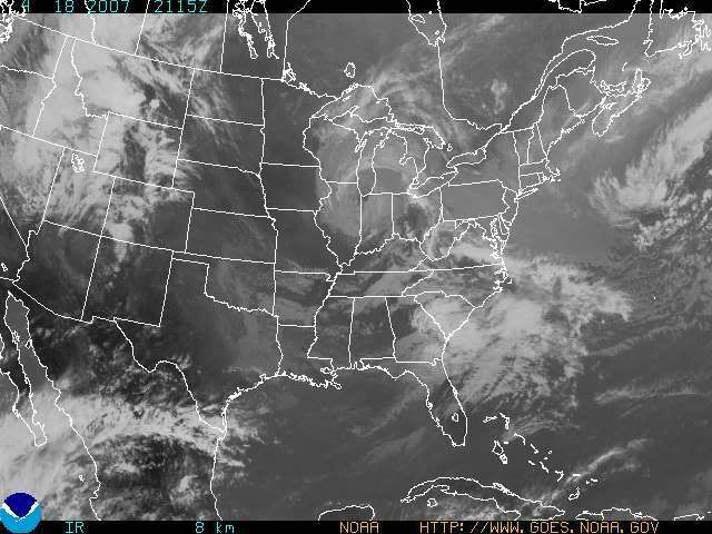
FINALLY folks!!! It is coming! A beautiful Fri thru Sun period is in store for the Tri-state! Before I get to that, let's look at our current weather situation. We currently have an upper level low over the Great Lakes region. It is currently situated over the Great Lakes.
This satellite imagery tells the story:

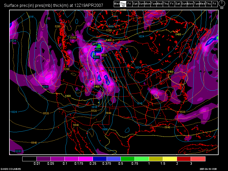
Then, as one can see by looking at the 12Z GFS valid at 24 hours, which is 8am tomorrow morning:

This model is overdoing the precip. though, as it had moisture over us for today and we did not see a thing at all other than a few sprinkles in the Southern parts of the Tri-State, A loan T-storm also developed NW of Cynthiana, KY, today too. But, other then that, I am keeping isolated showers in the forecast for tonight and early tomorrow morning. With the expected cloud cover tomorrow, highs should remain in the 50s.
Now... Friday, begins our nice weather! A ridge of high pressure should expand from the Plains into the OH Valley. Highs on Friday will top out in the upper 60s with lower 70s for Sat. and maybe even 75 by sun! Lows thru the period should be in the 40s.
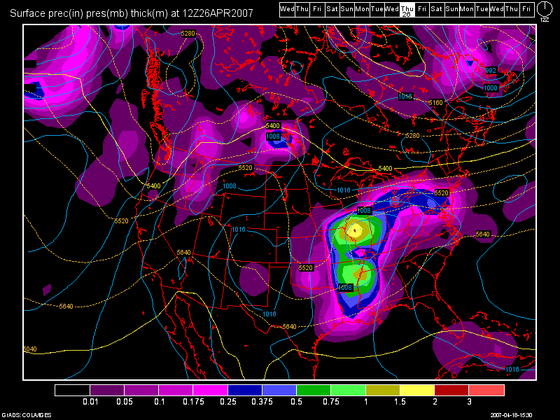
As we start the new workweek, a cold front will be sliding down from the Great Lakes region. It will stall out in our area and provide daily chances at showers and storms thru Wed.
Here is the 12Z GFS image valid at 192 hours for Thurs at 8am:

Highs should still remain near normal to above normal through the Mon - Thurs. period.
Long Range: (April 29th - May 4th)
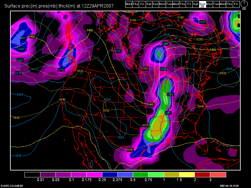
The stormy pattern will continue throughout the long range period. Here's another 12Z GFS image valid for Sat. April 29th valid at 264 hours.

Beyond that cold front, the GFS continues to bring in storm systems as we head into the new month as well!

2 comments:
well...I didnt get my rain tonight...but it looks like I might get another chance next week..hopefully! lol for some reason ive been lookin forward to a good rain storm lately...thank you for helpin me out tonight also!
No problem Martie! After my explanation, my blog should be easier for you to understand now. As always, ask questions, as I am happy to answer them!
Everyone should begin to see increased rain/storm chances beginning next week so enjoy the wonderful Fri. - Sun. period ahead.
Post a Comment